– Online release of a geochemical map of Shikoku region contributing to safety assessment of disaster –
Researchers) KAWABE Yoshishige, Group Leader, HARA Junko, Senior Researcher, Geo-Environmental Risk Research Group, Research Institute for Geo-Resources and Environment
AIST investigated the distribution characteristics of naturally derived heavy metals and estimated a risk of hazardous elements in the soil in the Shikoku region. The results were published as a geochemical and risk assessment map of subsurface soils of Shikoku region.
The geochemical and risk assessment map was released on the AIST: Geological Survey of Japan website from March 30, 2021 (URL:https://www.gsj.jp/Map/JP/soils_assessment.html).
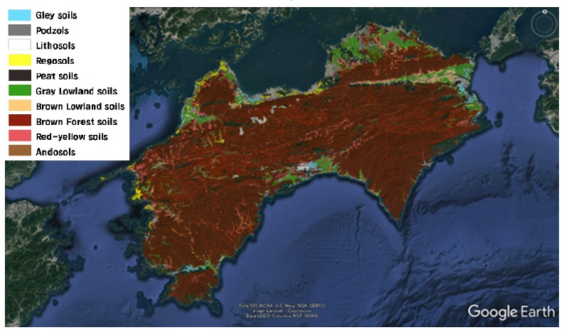
Soil map of Shikoku region on Google Earth: Soil classification shown by colors in legend.
Image Landsat/Copernicus Data SIO, NOAA, U.S. Navy, NGA, GEBCO ©2022 TerraMetrics
Surface soils flowing into our living spaces due to large slope collapses, landslides, floods, tsunamis and other disasters associated with climate change and seismic activity have had a large impact in recent years. In addition, enormous costs are needed for treatment and environmental monitoring for construction generated soil containing naturally derived heavy metals, which is a problem associated with various infrastructure construction such as dams, railways, and roads.
The understanding on environmental impact assessment from the neighboring residents also tend to be difficult due to the insufficient explanation.
This social backdrop is increasing the need for background information on hazardous elements in surface soil.
AIST published "Geochemical and risk assessment map of subsurface soils" of Shikoku region. The method of selecting the analysis points was vastly improved to expand the scope of the survey. Specifically, the analysis points were selected by comprehensively analyzing geospatial information such as surface geology, river basins, soil, and geo-history information, which enabled to successfully obtain geochemical information with the highest accuracy possible. This information was used to clarify the concentration distribution of twelve heavy metal elements such as chromium and arsenic (Cr, Mn, Fe, Ni, Cu, Zn, As, Se, Cd, Sb, Pb, U) in the surface soil of the Shikoku region, and to conduct risk assessments of the effects on the human body. The results showed that while heavy metals exceeding environmental standards were detected in mountain areas, the level of risk to the human body was not a concern in current land use.
Fluorine and boron will be added to elements for risk assessment. These are light elements, so the concentration error due to the extraction process is large, and the information necessary for risk assessment is not contained in the current basic assessment map. Efforts will be made to improve information and establish risk analysis measures for fluorine and boron.