Japan’s Landscape Representation Learning with AI
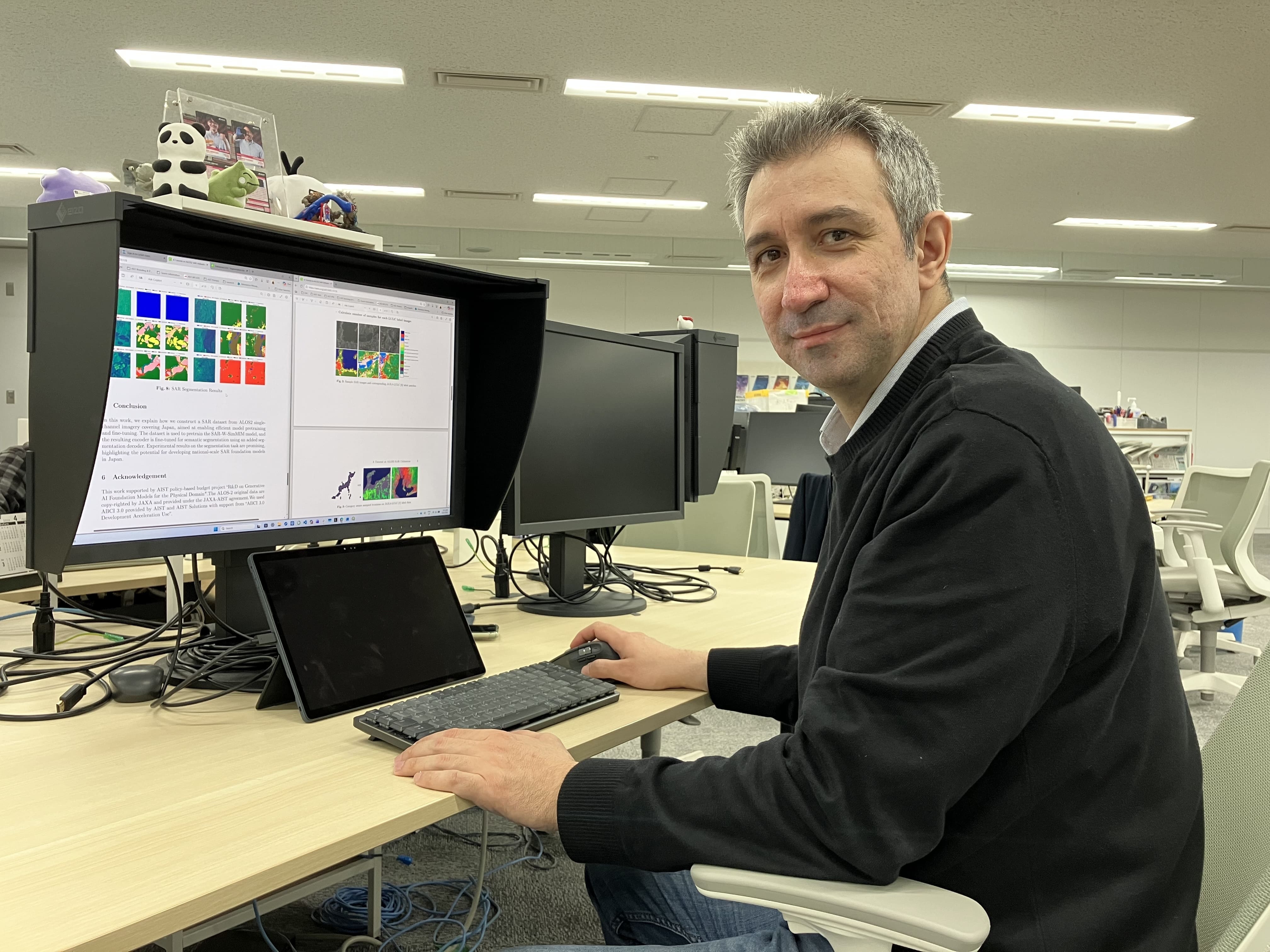
Building a Japan Focused SAR Foundation Model
As someone who normally works as a researcher and is currently helping run AIST’s LinkedIn from the Public Relations Office, I’m excited to share a project that reflects both technical challenge and societal relevance.
Japan has extensive, high quality SAR data from the ALOS-2 satellite. Until recently, however, there was no foundation model designed to fully leverage this data. To close that gap, we developed a SAR foundation model tailored specifically to Japan’s terrain and land cover, aiming to make SAR analysis easier to adapt across tasks faster, more reliable, and usable.
――Why now? Why a foundational model?
NevrezConventional approaches may suffer from data bias and not transfer well across different regions or tasks. At the same time, demand has been growing for AI methods better optimized to SAR data analysis. With nationwide, multi‑year ALOS-2 archives available—and with AIST’s large‑scale AI computing infrastructure, ABCI, this is a great opportunity to take advantage of large-scale data to build a model optimized for Japan.
――Why AIST?
NevrezAIST brings together large-scale computing infrastructure, long-standing AI research expertise, and a strong collaboration with JAXA. Using self supervised learning on nationwide SAR data, our model captures spatial patterns across Japan with minimal labeling. It can be adapted to efficient tasks such as flood detection, land cover mapping, and it can provide basis for potential future works on disaster monitoring and natural language interpretation of SAR observations.

――Call for collaboration.
NevrezIf you’re a researcher, student, or industry partner exploring SAR or geospatial AI, we would be glad to connect.
We hope this SAR foundation model can serve as a useful starting point for new research ideas and practical applications.